14,000-Year-Old Fossilized Poop Among Oldest Traces of Humans in North America
For much of the 20th century, the most solid evidence pointing researchers toward who the earliest humans in the Americas were, when they settled and how they lived were 13,000-year-old sharpened stones, known as Clovis points.
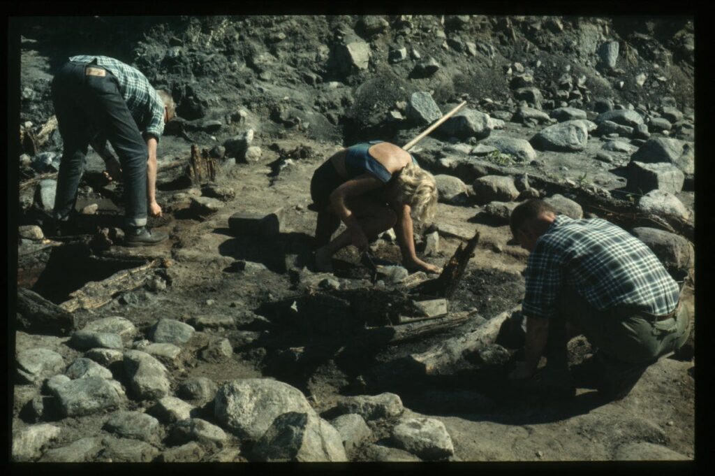
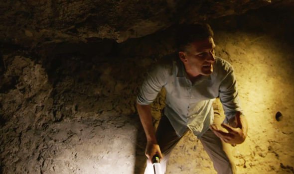
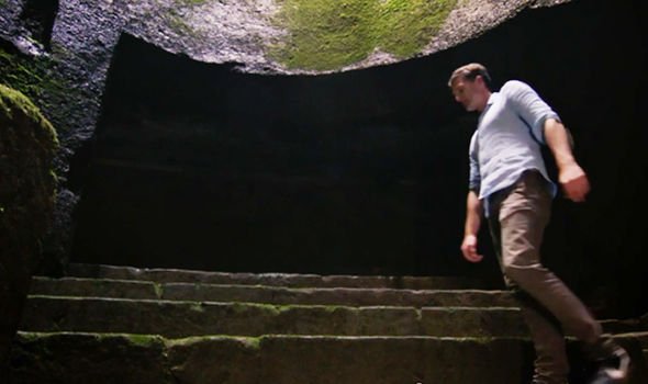
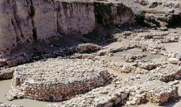
However, that timeline has been revised in recent decades, as Erin Wayman reported for Smithsonian magazine in 2012. Archaeologists have unearthed evidence of pre-Clovis populations in the Americas at multiple sites, leading them to believe that humans have been here much earlier than previously thought. And in 2007, a team of working in Oregon’s Paisley Caves discovered some of the most solid evidence yet: a cache of ancient human dung.
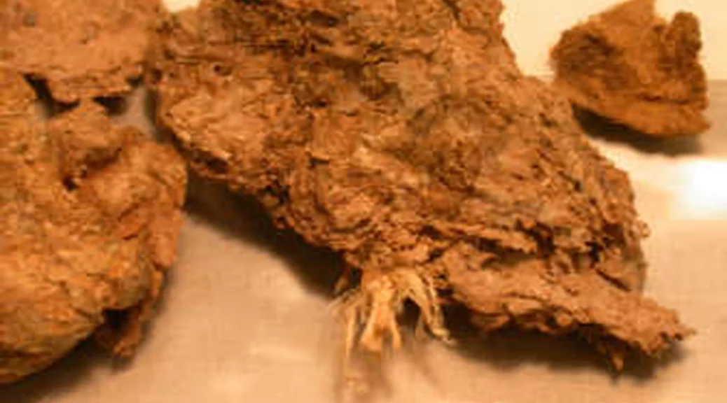
Researchers used radiocarbon dating to estimate that the dried-out scat, preserved in the arid climate of the caves, was more than 14,000 years old—old enough to upend the “Clovis First” timeline.
Still, some researchers wondered: how could we be sure that the poop was really human? Many archaeologists claimed that the samples, known as coprolites, could have been animal faeces that were later contaminated by human DNA, reports Asher Elbein for the New York Times.
“No one doubts that the coprolites are as old as the radiocarbon dates say they are, they just doubt they are human,” environmental archaeologist John Blong of Newcastle University in the United Kingdom explains to Gizmodo’s George Dvorsky.
“If you’ve ever watched a crime show on TV, you know that DNA can get everywhere. Organisms constantly shed DNA in hair, skin cells, sweat, saliva, and so on.”
Last week, lead author Lisa-Marie Shillito, Blong and a team from the University of Newcastle published their answer in the journal Science Advances: yes, the faeces were almost certainly produced by humans.
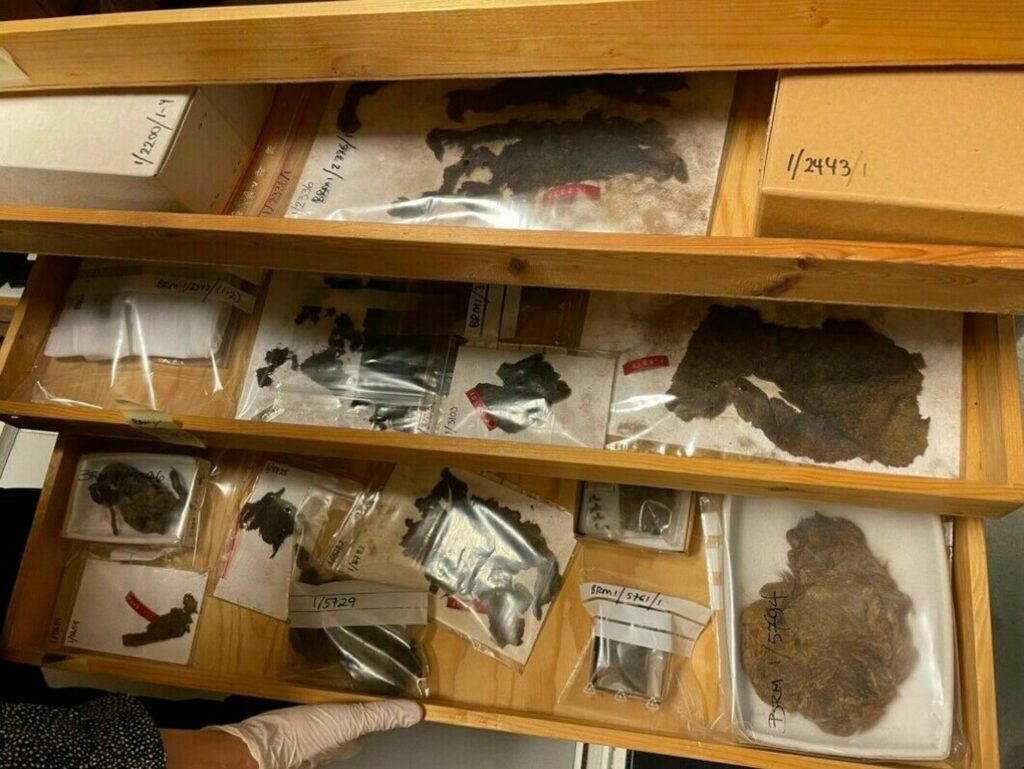
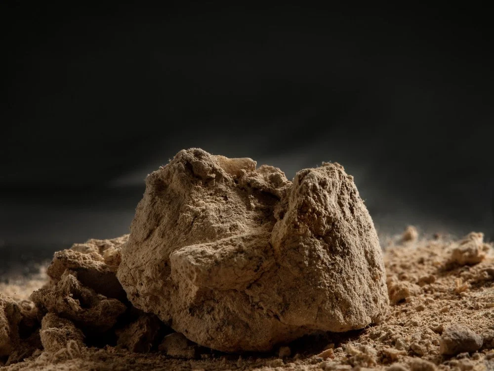
The researchers came to their conclusion by studying the lipid biomarkers of 21 coprolite samples. These biomarkers are especially helpful because they are unlikely to contaminate nearby samples, per the New York Times.
Taking the two pieces of evidence together—the presence of lipid biomarkers associated with humans and the presence of human DNA—the team was able to confirm 13 coprolites as human samples. (Other samples in the studied batch came from a panther and a lynx, according to Gizmodo.)
Katelyn McDonough, a Texas A&M University archaeology Ph.D. candidate not involved in the research, tells Gizmodo that the use of faecal biomarkers is an exciting approach.
“This study both advances and showcases the faecal biomarker approach and makes a good case for the use of this method in tandem with DNA analysis in the future,” says McDonough.
According to the Times, the makeup of the Paisley Cave dung can also provide clues to their diet. For instance, the coprolite samples showed that early humans ate seeds, plants and rodents in addition to the occasional mammoth.
“The question of when and how people first settled the Americas has been a subject of intense debate,” Lisa-Marie Shillito says in a University of Newcastle statement. “By using a different approach, we have been able to demonstrate that there were pre-Clovis populations present in the area of the Great Basin and resolve this debate once and for all.”
Still, there’s much more to learn. Shillito tells the Times that further studies like this one will help illuminate the origins of Homo sapiens in the Americas.
“We’ll get a more detailed idea of exactly how people were moving around across the continent, and what they were doing in the environment, rather than just thinking about when they got there,” says Shillito.
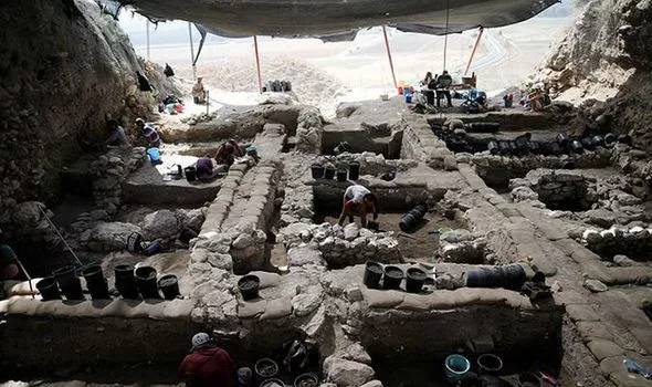
In a controversial study published just last week, University of Exeter archaeologist Ciprian Ardelean published more evidence of pre-Clovis populations. Ardelean and his team used radiocarbon dating to show that stone artefacts found in Mexico’s Chiquihuite cave were possibly more than 26,000 years old, as Brian Handwerk reports for Smithsonian magazine.