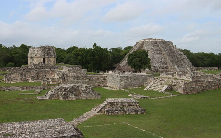
Archaeologists unearth a 1,000-year-old Maya settlement in central Belize
A site first highlighted by a farming community in Belize is enabling archaeologists to piece together what life was like for Mayans living centuries ago.

Modern archaeology is less often about finding big monuments and more about understanding how people lived. For anthropology graduate students Rachel Gill and Yifan Wang, that’s exactly what this site means.
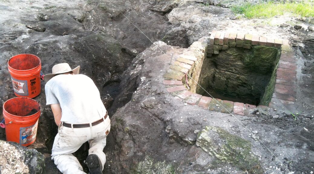
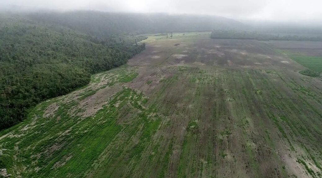
“We stand in the open fields of Spanish Lookout, a modernized Mennonite farming community in Central Belize, looking at what remains of ancestral Maya homes after years of ploughing,” the two archaeologists write for the University of Illinois Urbana-Champaign.
“White mounds, the remnants of these houses, pock the landscape as far as the eye can see, a stark reminder of what existed more than 1,000 years ago. The collapsed buildings look like smudges on an aerial photograph, but as archaeologists, we get to see them up close. With enough excavation and interpretation, we can eventually make sense of how these dwellings functioned in the deep human past,” they add.
Of course, analyzing an archaeological site first starts with finding it. These days, this is rarely done by going out and digging and hoping for the best — archaeologists have an array of remote sensing tools at their disposal that allow them to peer through the thick jungle and sometimes, even catch a glimpse of what might lie underneath the surface.
But when you have the site in your sights, you still have to analyze it, and this is what Gill and Wang are working on.
Oftentimes, us laypeople at least, focus too much on the imposing structures and cool artefacts found at archaeological sites. But if you want to truly understand a culture like the Maya, you have to look deeper.

The mundane realities of many Mayans aren’t captured in the imposing Maya pyramids or their worshipping complex, but they can be captured in things like pots and tools.
At the Maya site, the two archaeologists are looking at a collection of domestic vessels found for cooking, serving, and storage. The shapes and styles of this pottery enable the archaeologists to date it — one particular neighbourhood was dated to 250-600 AD. In addition, they found several agricultural tools made from chert — an uncrystallized rock with similar chemistry to quartz.
The houses in this neighbourhood would have had walls and plastered floors, as well as several vessels they would have used regularly. Regular Mayans would have used the chert tools to grind maize into flour. They complimented their diets by hunting animals in the forest.

But not everything is clear. For instance, one Maya building uses uniform stones and a different type of plaster than the others, and it’s not exactly clear why.
This building also has fewer artefacts and seems to be “cleaner” than the others. This suggests it would have been not a residential, but a community building. What type of community building, however, is not clear. It could have been a meeting place, a ritual site, or maybe even a recreation centre, but it’s not clear yet.
“We also partially exposed a substantial platform mound that had four structures at its summit. The structures surrounded a plaza or courtyard. It is clear that an elite family lived here. This mound would have been secluded, sectioned off from the rest of the neighbourhood, like the large house at the end of a cul-de-sac where, if you were lucky, you got invited for a pool party, much different from the community building,” the archaeologists explain.
Unfortunately, agriculture is also affecting some of the findings. As local farmers worked the land generation after generation, they dislodged and damaged some of the artefacts and structures. But nevertheless, the signs of the local community are still there. After over a thousand years, their houses, their streets, and the places where they would gather can still tell us stories if we know how to read them.
“The ghosts of those who lived on the land before walk between us, using what remains of their homes to whisper, ‘Remember me.’,” the archaeologists concluded.