Archaeologists in northern Mexico shed new light on ancient Huastec burial and construction practices
Recent excavations at a site in the state of Tamaulipas included analysis of large earthen mounds that were used for burials and everyday activities.
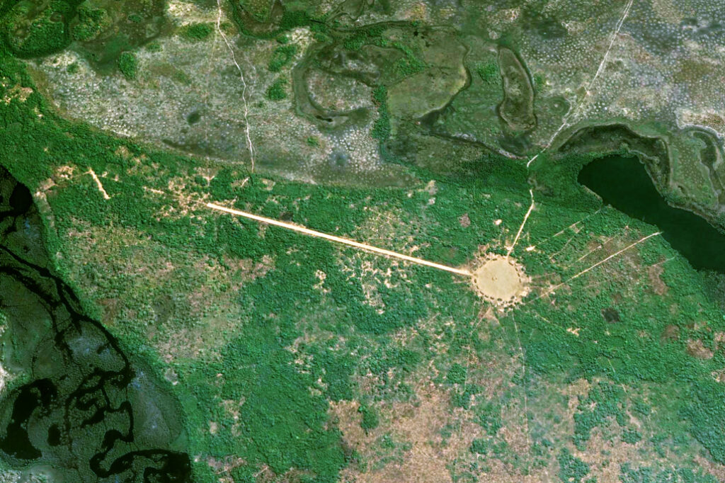
Archaeologists in the northeastern state of Tamaulipas, Mexico, have identified remnants of a human settlement active more than a millennium ago that shed light on the pre-Columbian Huastec civilisation.
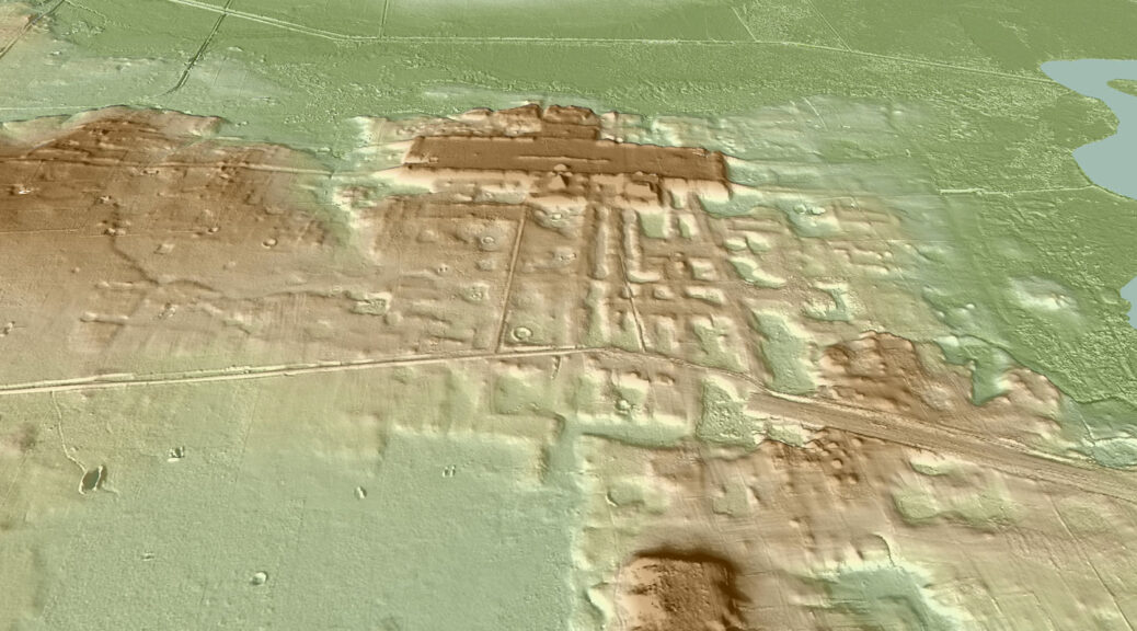
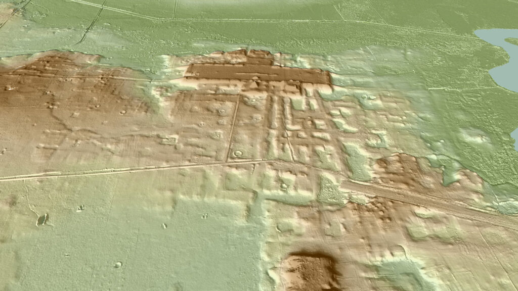
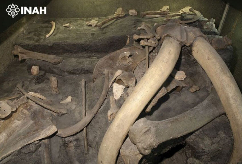
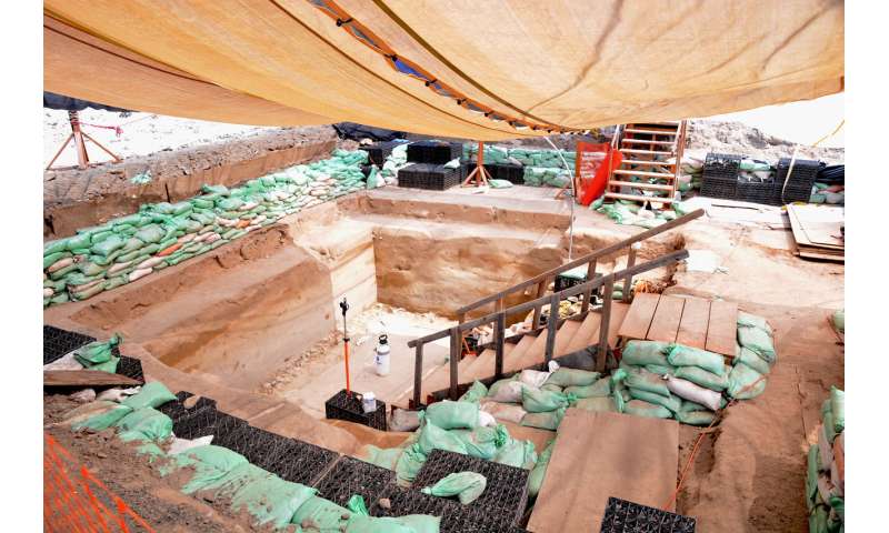
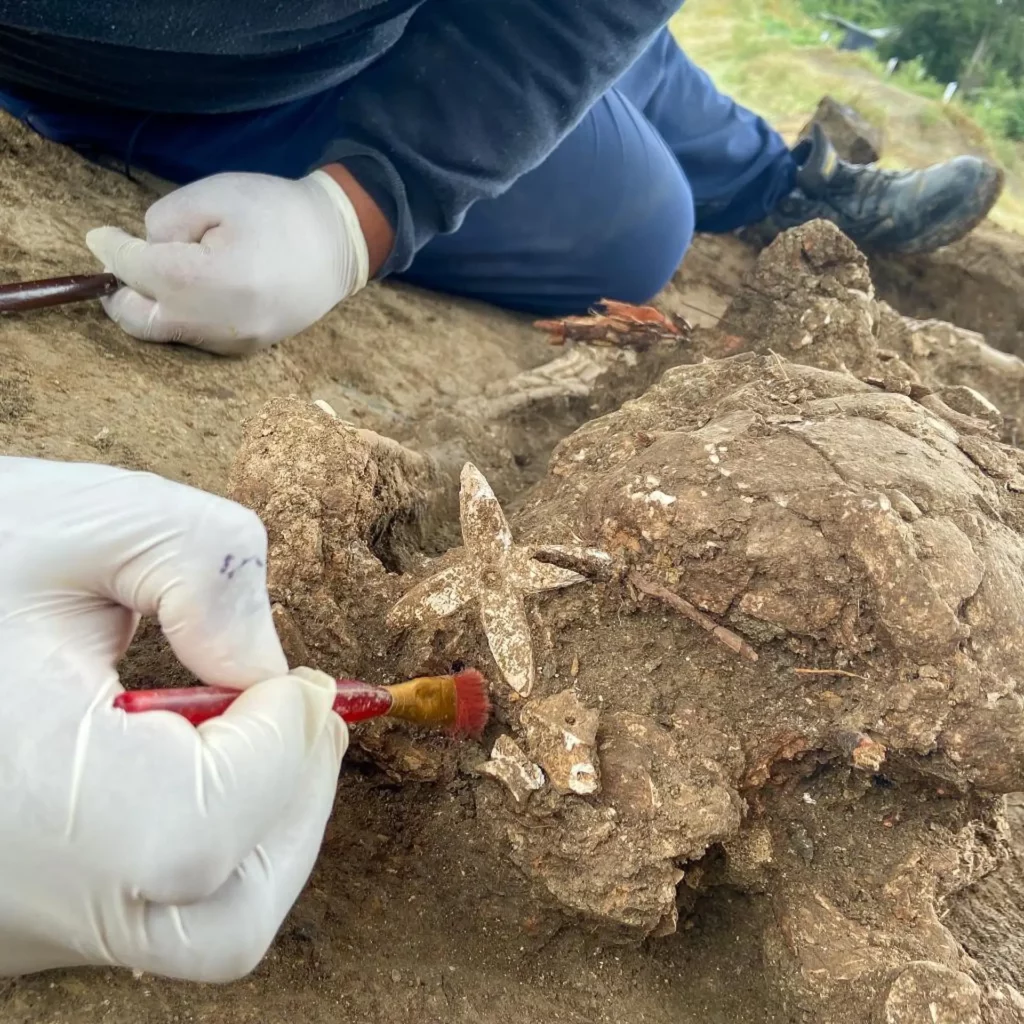
The foundations of four large earthen mounds were found at the archaeological site known as El Naranjo, and served not only as burial grounds but also places for daily activities, according to an announcement last week by the National Institute of Anthropology and History (INAH). Researchers say it is one of the most important findings in the region in recent decades due to the volume of recovered material.
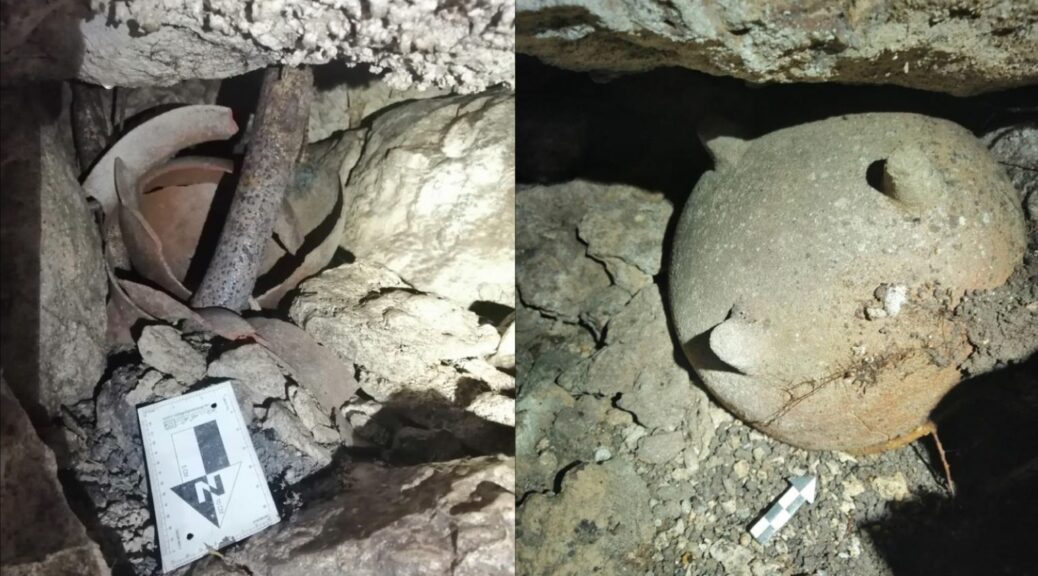
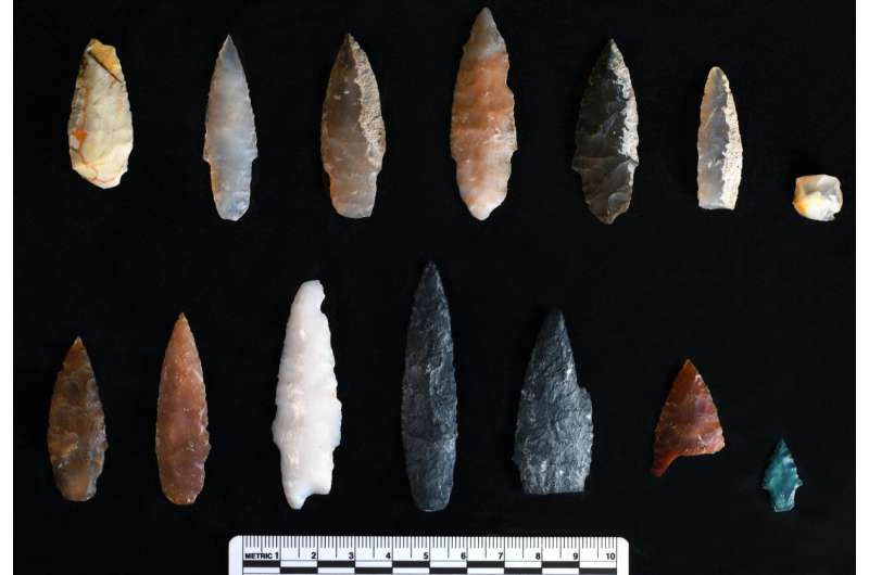
“Without a doubt, they were dynamic spaces,” archaeologist Esteban Ávalos says. “In addition to what is related to human burials, we propose that there were daily activities. This is based on the discovery of hearths, not very stylised ceramics, grinding stones and projectile points.”
The ancient Huastec civilisation occupied land stretching across what is now six Mexican states and constructed substructure mounds for activity that have been identified at archaeological sites including Vista Hermosa and Platanito.
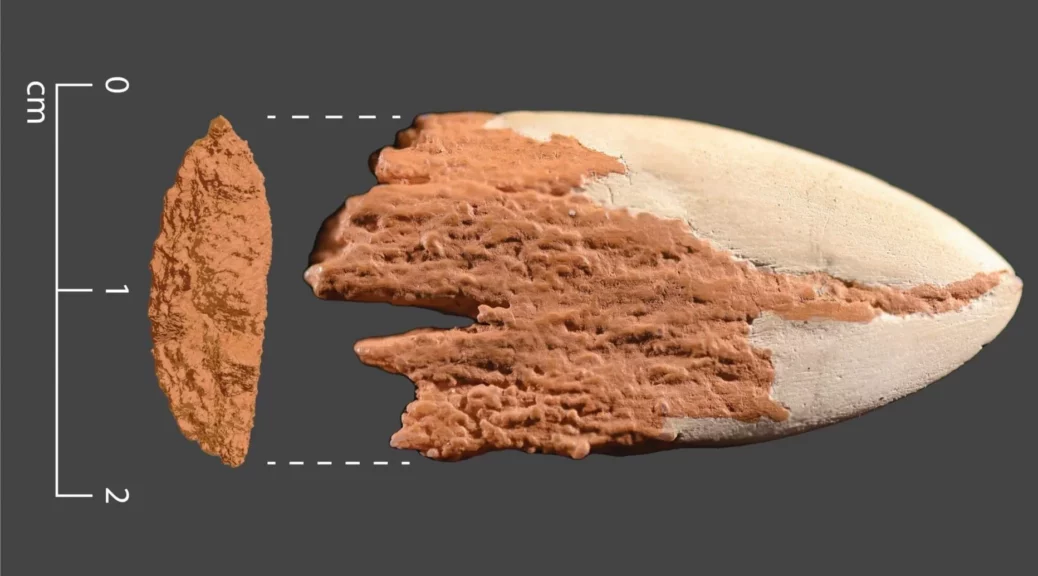
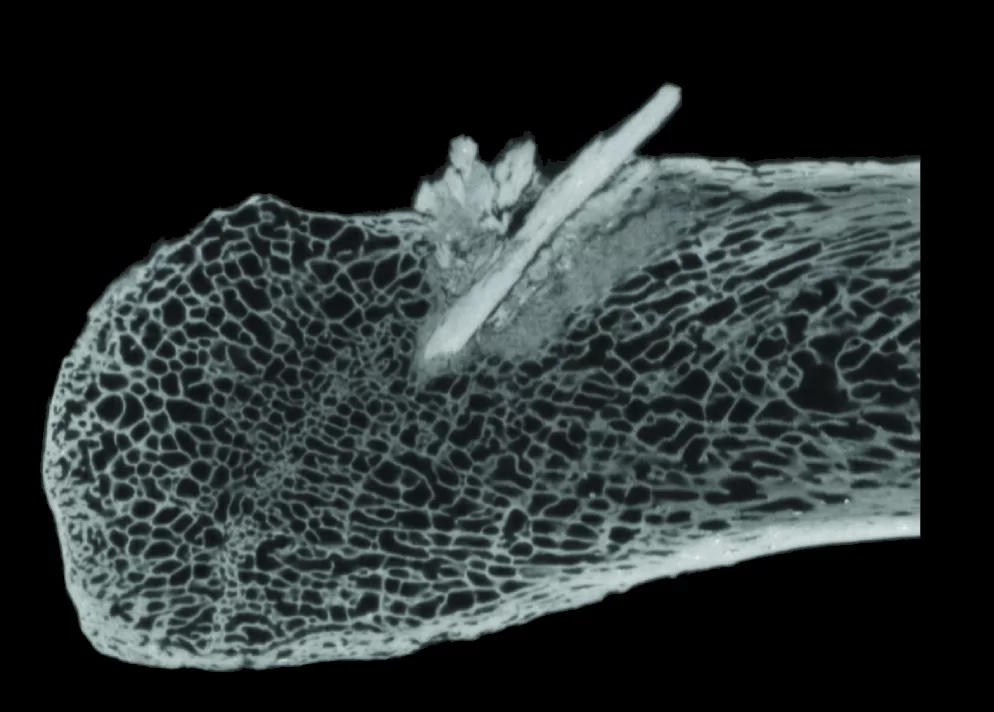
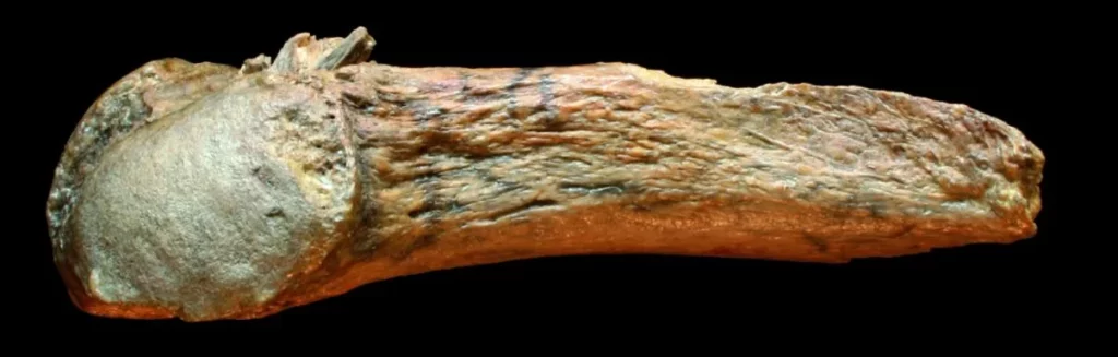
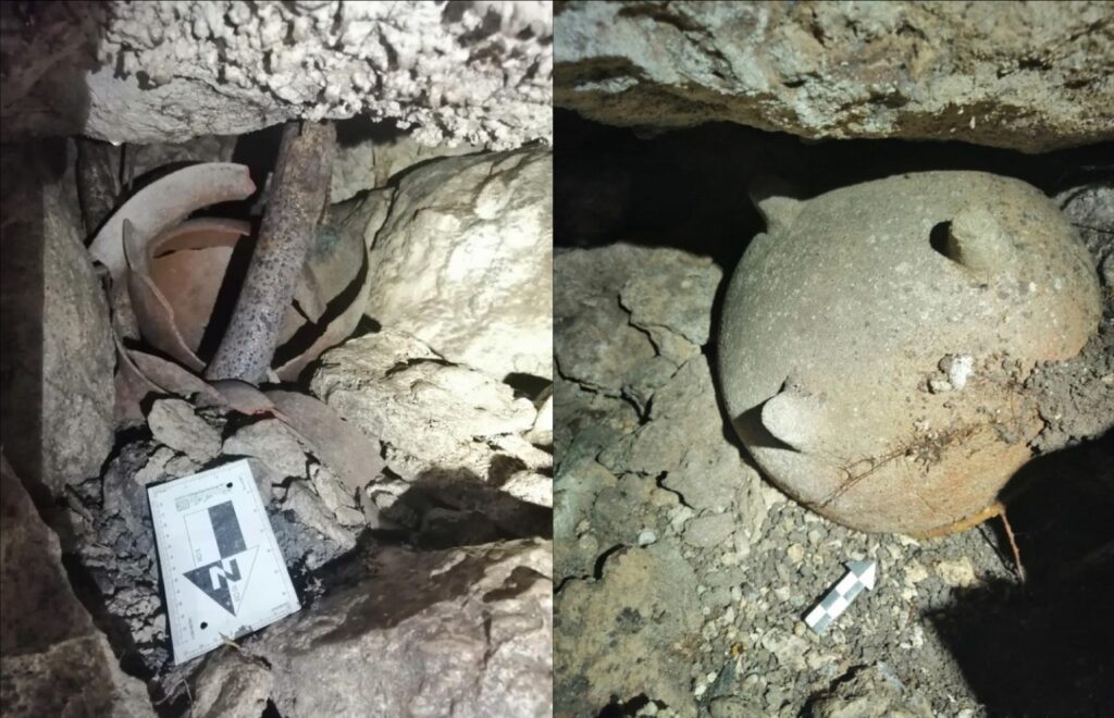
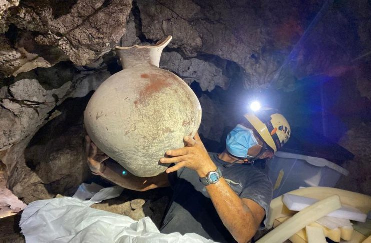
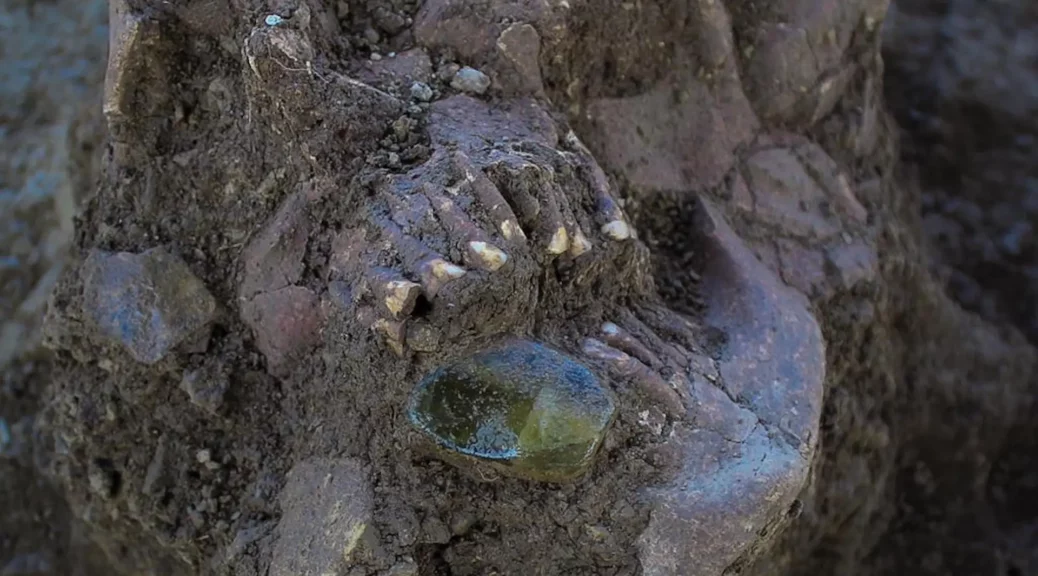
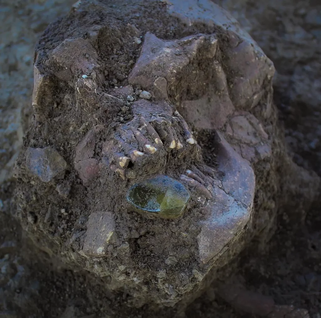
At El Naranjo, archaeologists have so far excavated two of the four mounds, which held a dozen human interments. The smaller, measuring 20 metres in diameter and named Mound 4, revealed multiple burials of adults adorned with earrings made of green quartz and shells, some carved in the shape of flowers.
At the larger mound, measuring 30 metres in diameter and named Mound 1, researchers identified several other burials in addition to the discrete grave of one adult within a limestone structure.
“We can see that they practised both single-individual and multiple-type burials, and that they were buried in different positions—some more frequent than others, such as the dorsal flexed position or the flexed decubitus position,” Ávalos says. “Also that the objects that accompanied them are rare materials in the region, and that they were worked with great care and detail.”

Archaeologists are especially interested in the architecture of the mounds. They were made of alternating layers of earth, limestone and basalt and suggest a specialisation of labour and use of materials. “[The discovery] allows us to characterise and know in-depth the construction systems of this type of earthen construction with stone masonry, which have been little-studied from the architectural point of view,” Ávalos says.
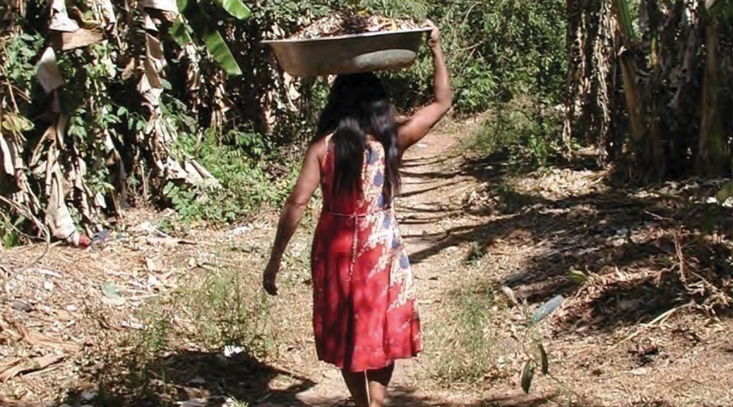
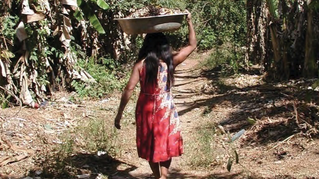
“This contributes to understanding social organisation, resource management and habitability solutions in response to the environment.” He adds that the foundations are similar to those of earthen houses known as Bajareque houses that people in Ocampo and the surrounding areas are currently building, demonstrating the “permanence of traditional knowledge”.
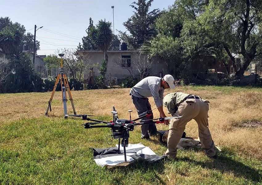
Excavation of the site has been underway as part of the ongoing construction of a superhighway linking the municipalities of Mante and Tula in Tamaulipas.
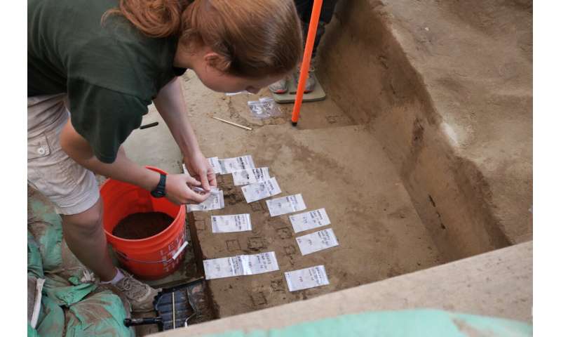
Archaeologists and physical anthropology experts are studying the recovered remains to further understand the complexity of settlement life at El Naranjo. “We are expected to obtain accurate data about cultural affiliation, age, sex, nutrition and disease,” Ávalos says.