Possible 1,400-Year-Old Temple Excavated in Eastern England
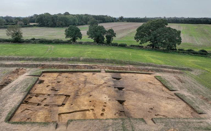
A 1,400-year-old “possible temple” has been discovered near Sutton Hoo. Suffolk County Council said the find was made at Rendlesham, in Suffolk as part of an archaeology project.
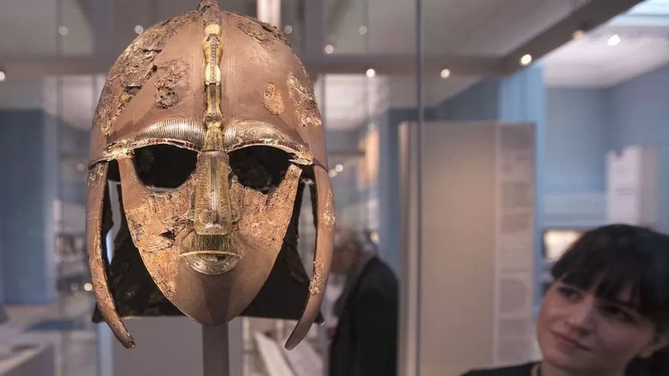
It is thought the temple could have been overseen by King Raedwald, who died in AD 625 and is believed to have been buried at Sutton Hoo.
Prof Christopher Scull, who is advising the project, said the find was “remarkable”.
The discovery comes a year after the remains of a large timber royal hall were unearthed. The Venerable Bede mentioned the “king’s village” at “Rendlaesham” in his 8th Century book An Ecclesiastical History of the English People.
The council said the scholar wrote that King Raedwald had a temple in which there were altars to pre-Christian gods alongside an altar to Christ, but did not specifically say that this was at Rendlesham.
Excavations this year have revealed the royal compound at Rendlesham was more than double the size previously estimated, with an area of 15 hectares – the equivalent of about 20 football pitches.
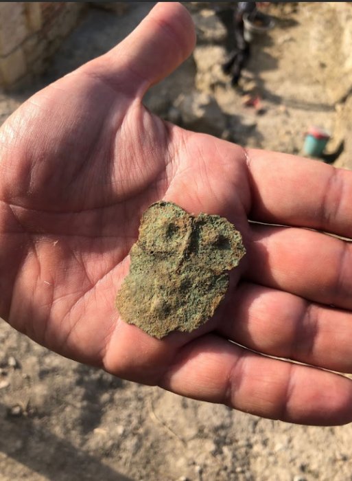
Evidence of fine metalworking associated with royal occupation, including a mould used for casting decorative horse harnesses similar to those known from nearby Sutton Hoo were also found during this year’s excavations.
The compound also had a 1.5km-long ditch around the perimeter and is thought to be part of a wider settlement covering 50 hectares, making it “unique in the archaeology of 5th to 8th Century England in its scale and complexity”, the council said.
Prof Scull added: “The results of excavations at Rendlesham speak vividly of the power and wealth of the East Anglian kings, and the sophistication of the society they ruled.
“The possible temple, or cult house, provides rare and remarkable evidence for the practice at a royal site of the pre-Christian beliefs that underpinned early English society.
“Its distinctive and substantial foundations indicate that one of the buildings, 10 metres long and five metres wide, was unusually high and robustly built for its size, so perhaps it was constructed for a special purpose.
“It is most similar to buildings elsewhere in England that are seen as temples or cult houses, therefore it may have been used for pre-Christian worship by the early Kings of the East Angles.”
Community dig
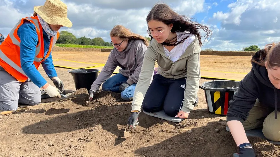
More than 200 volunteers, including primary school children, were involved in the dig this summer and more than 600 have taken part since it began three years ago.
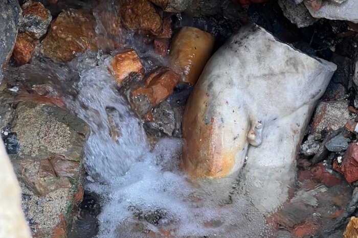
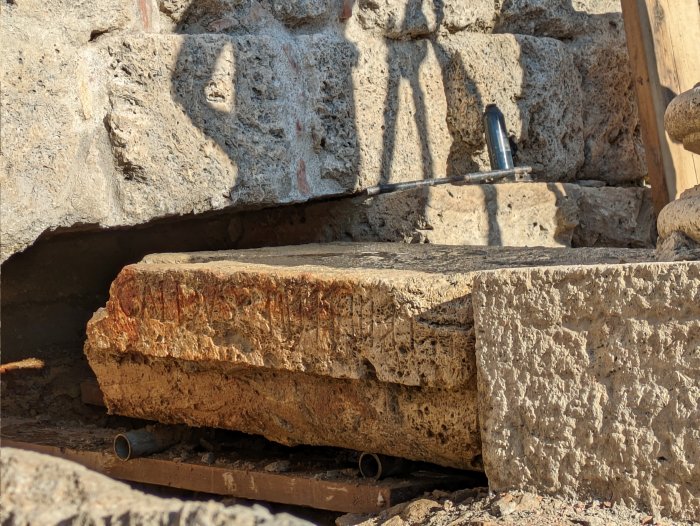
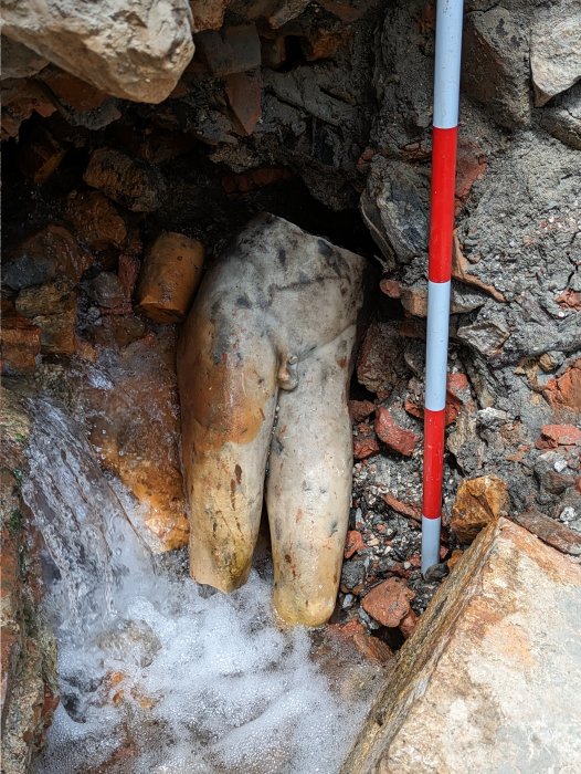
This summer’s excavations revealed the foundations of three new timber buildings, including the temple.
They also identified evidence of 7th Century metal working, two graves of unknown date and evidence of earlier settlement and activity from the Neolithic, Bronze Age, Iron Age and Roman periods.
The project was funded by The National Lottery Heritage Fund through a grant of £517,300.
Conservative councillor Melanie Vigo di Gallidoro, the authority’s deputy cabinet member for protected landscapes and archaeology, said: “This year’s findings round off three seasons of fieldwork that confirm the international significance of Rendlesham’s archaeology and its fundamental importance for our knowledge of early England.”