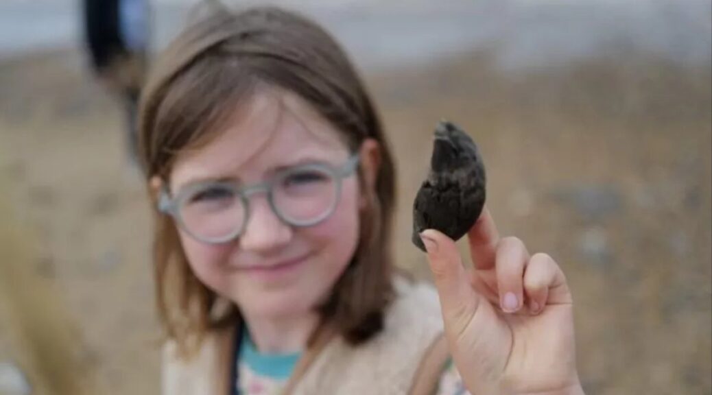
A Little Girl From London Finds a 700,000-Year-old Ancient Bear Tooth
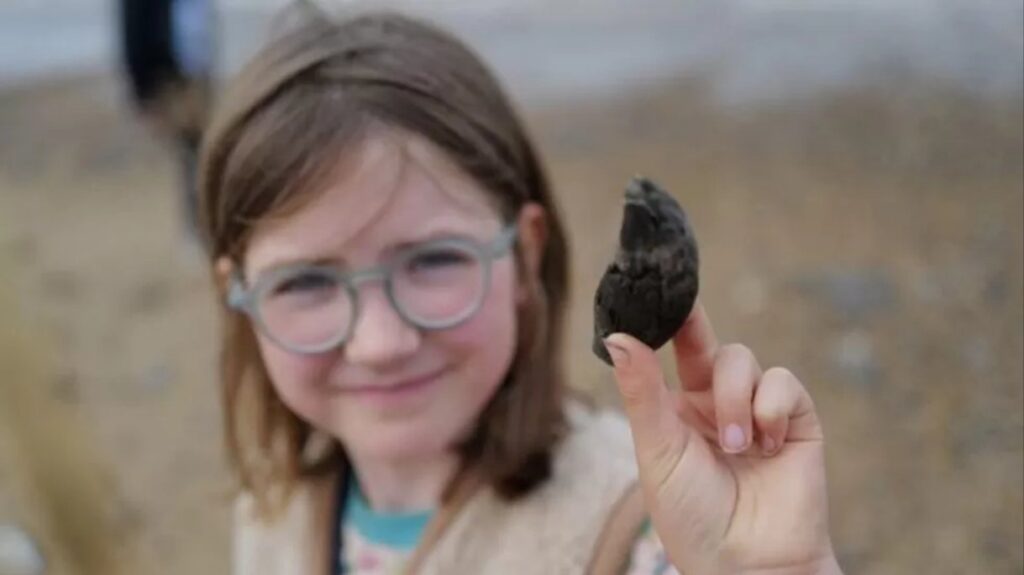
Etta, from Hackney in London, made her discovery while on a family holiday on 22 July on Norfolk beach at West Runton.
While she was looking down she found something that she thought it was a fossilised bit of wood so she put it in her pocket, and when they got back to the car park they showed it to a fossil expert and she fell off her chair.
“She said, ‘People search for 20 years and don’t find anything this good’ and told them it was a bear tooth.”
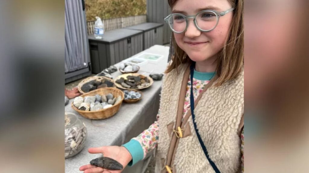
The nine-year-old, and her sisters aged seven and five, “really got into fossils” after attending a Norfolk Wildlife Trust fossil hunting course earlier in the year, their mother Thea Ferner explained.
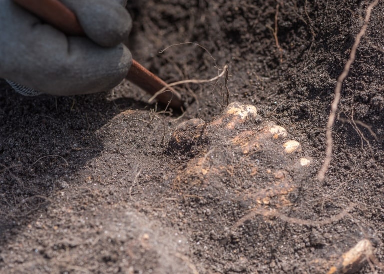
Etta has loaned the tooth, which is about 9cm long (3in) from tip to root, to Norfolk Museums Service geologist David Waterhouse after meeting him at a fossil identification event at Cromer Museum.

“To find a perfect massive bear canine is a first for me in 16 years working here,” the senior curator of natural history said.
“We normally find lots of deer fossils, for example, but as you go up the food chain, you find fewer and fewer carnivores like the bear.”
He has identified it as an ancestor of the common brown bear.
Dr Waterhouse said “more extreme weather” is speeding up coastal erosion, which is “a double-edged sword – people’s homes and livelihoods are at risk, but it also means that amazing finds such as the Happisburgh footprints are being discovered”.
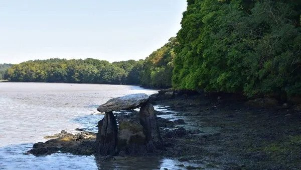
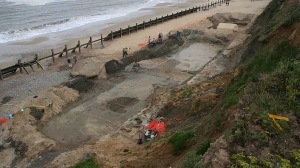
Norfolk’s Deep History Coast is a 22-mile (35km) stretch of coastline between Weybourne and Cart Gap.
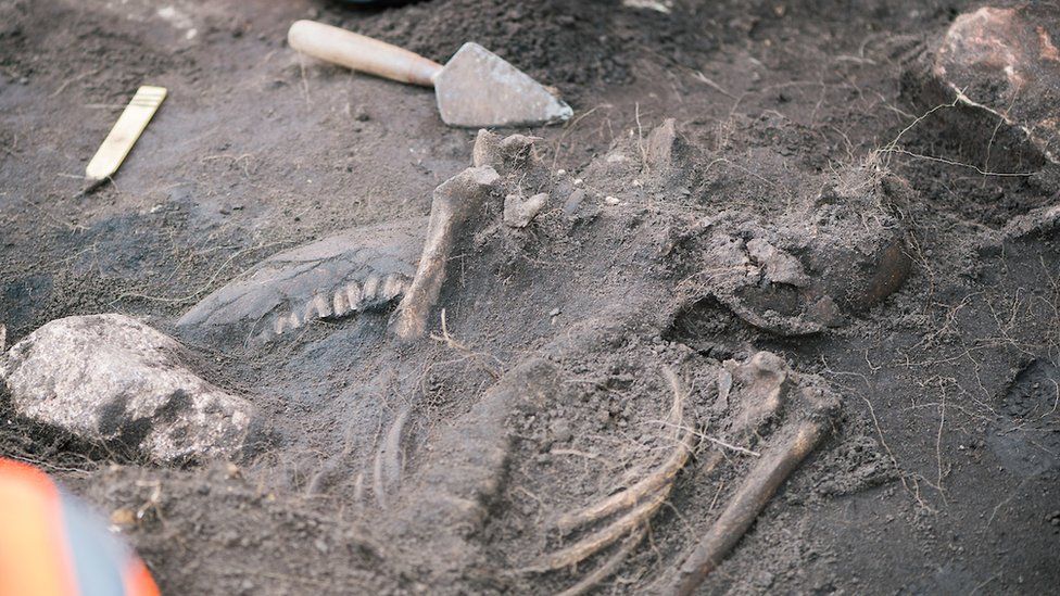
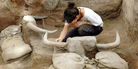
Some of the more spectacular discoveries include the oldest archaeological site in northern Europe at Happisburgh, where 800,000-year-old human footprints were revealed in 2013. West Runton is also home to the oldest and largest fossilised mammoth ever found in the UK.
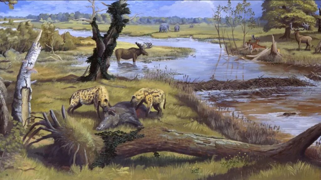
They are being unearthed in the Cromer Forest Bed geological layer, which at West Runton is 600,000 to 700,000 years old, said Dr Waterhouse.
The discoveries have pushed back archaeologists’ understanding of life by hundreds of thousands of years – and they have kept coming over the past 10 years, Dr Waterhouse explained.
These revealed the climate would have been like modern Poland’s, with similar summers but much colder winters than today.
“All these little nuances are building up to this rich picture of what animals and plants were thriving 700,000 years ago,” he said.
The earliest humans were Homo antecessor or Pioneer Man and they migrated across a landmass known as Dogger Land, which joined the British coast to present-day Germany and the Netherlands.
Dr Waterhouse said humans were still “a rare species… but everything was just right in Norfolk” for them, from wildfowl, game, shellfish “and crucially flint” to turn into sharp tools.
The nine-year-old said she planned to keep on fossil hunting.