This ancient weapon was made from an object that fell out of the sky
An exceedingly small artifact crafted from an iron alloy that fell from the sky was retrieved near a settlement. It was not the closest meteorite to the area, however, researchers think it may have originated from Estonia, which is a considerable distance away.
The arrowhead is not only indicative of the use of sky iron in the pre-smelting era, but it also reveals the existence of vast trading systems which operated thousands of years ago.
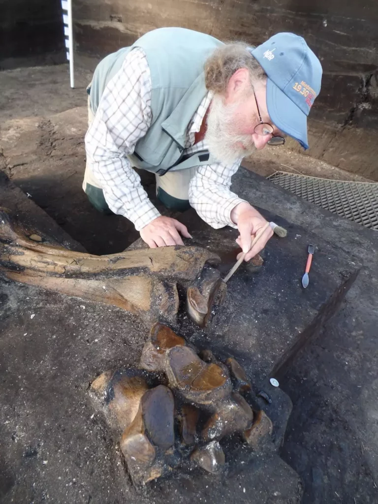
Geologist Beda Hofmann of the Natural History Museum of Bern and the University of Bern in Switzerland initiated an extensive search to find ancient meteoritic iron artifacts.
As pure iron was a rarity in ancient times, the only readily available option was to use the iron that had fallen from the sky in the form of meteorites.
Iron meteorites are the type that are most commonly seen. They can survive the impact of entering the atmosphere and are generally composed of iron, as well as small amounts of nickel and minuscule amounts of other metals. It is believed that most iron tools and weapons used during the Bronze Age were created using meteoritic iron.
Throughout the Middle East, Egypt, and Asia, numerous artifacts have been discovered; however, there have been vastly fewer finds across Europe.
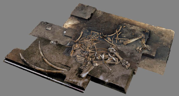
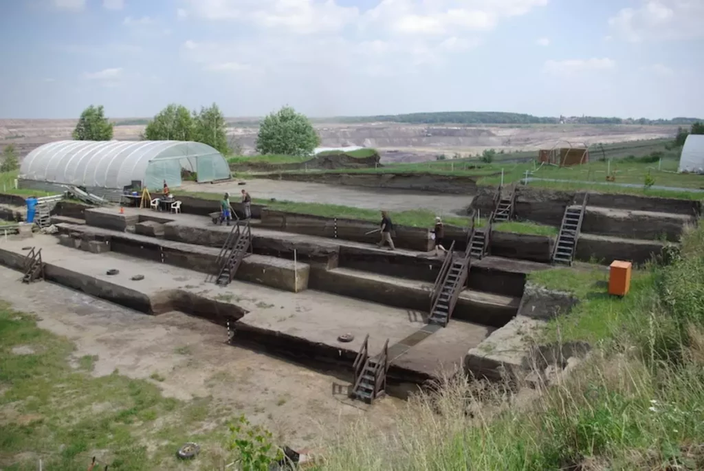
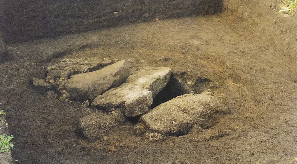
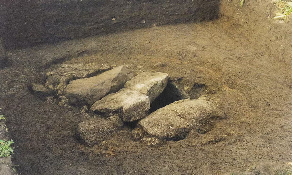
Morigen, located in present-day Switzerland, was a thriving settlement during the Bronze Age, from approximately 800 to 900 BCE.
The Twannberg field, which contains remnants of a rock that arrived from the heavens a great many years prior to the last ice age, was only a short distance from Morigen (no more than 8 kilometers, or 5 miles) according to the Harvard University abstract.
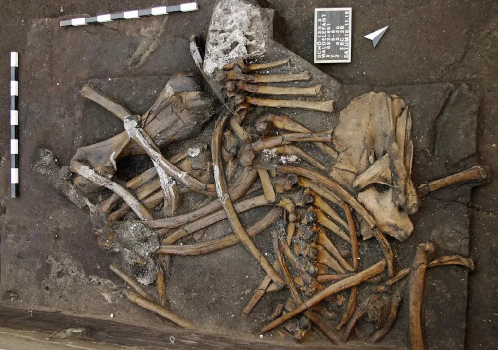
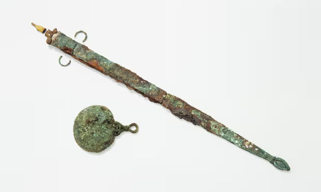
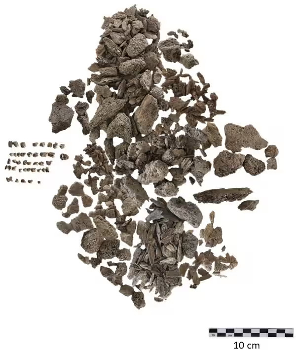
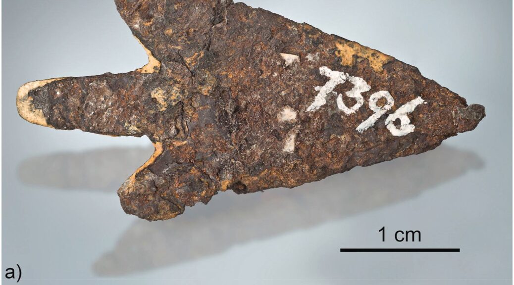
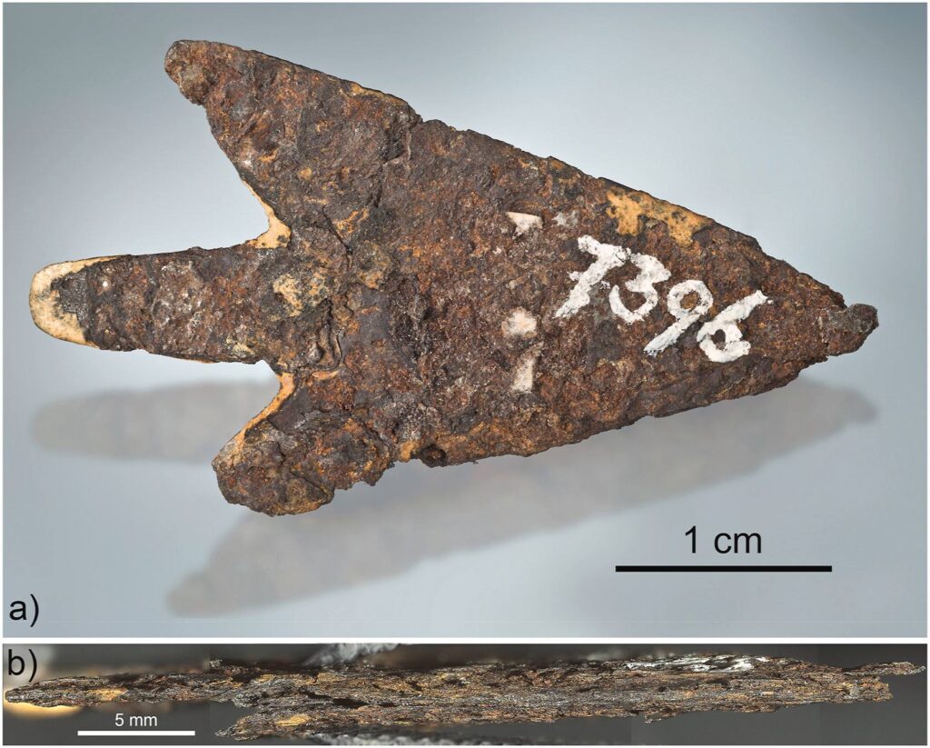
Hofmann and his crew uncovered an iron arrowhead from the site that they had already excavated. It was 39.3 mm long and weighed 2.904 grams. The team noticed that organic residue was present, which they assumed was birch tar, likely used to attach the arrowhead to its shaft. Its composition was out of this world.
Analysis of the object has confirmed the presence of iron and nickel, which is the usual makeup of meteoritic iron. Additionally, a radioactive isotope of aluminum – aluminum-26 – was found, which can only be created in space, among the stars.
It’s quite interesting to note that the combination of metals present in the arrowhead doesn’t match the iron found in Twannberg. Rather, it appears to be a type of iron meteorite known as an IAB meteorite.
The origin of the arrowhead is easier to identify considering the large IAB meteorites known to have crashed in Europe.
Three of these have a composition that coincides with the arrowhead: Bohumilitz from Czechia, Retuerte de Bullaque from Spain, and Kaalijarv from Estonia. These meteorites are documented on the websites of the Lunar and Planetary Institute.
The researchers concluded that Kaalijarv most likely matched the description. It had arrived on Earth near 1500 BCE and the pieces it created were suitable for forging into arrowheads. However, its location was 1600 km (994 miles) away from Morigen, indicating that it had possibly traveled via the Amber Road.
Considering the vast amount of meteorite debris created by the Kaalijarv impacts, it would be beneficial to survey through collections for items corresponding to the arrowhead, in an effort to discover the parent meteorite.
The researchers state that although it may have originated from Kaalijarv, it is highly probable that the arrowhead was not an isolated object and that there may be other worked fragments of meteoritic iron, such as those of miniature size, in archaeological collections around Europe and possibly even further.
The study was originally published in the journal Science Direct on July 25, 2023.