Scientists Trace an Ore Source for the Benin Bronzes
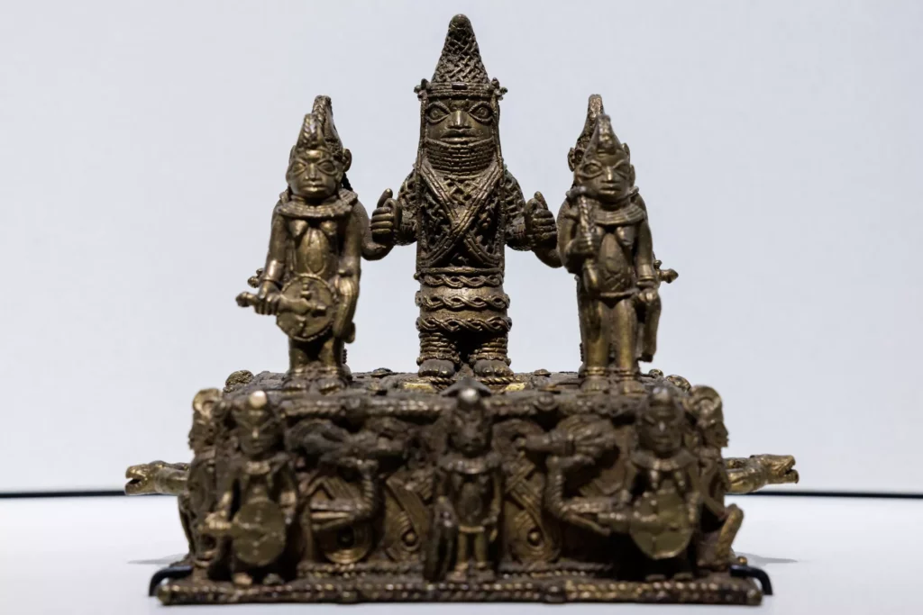
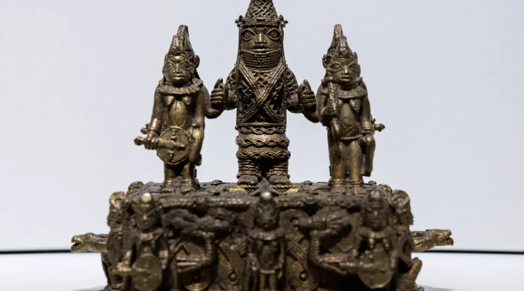
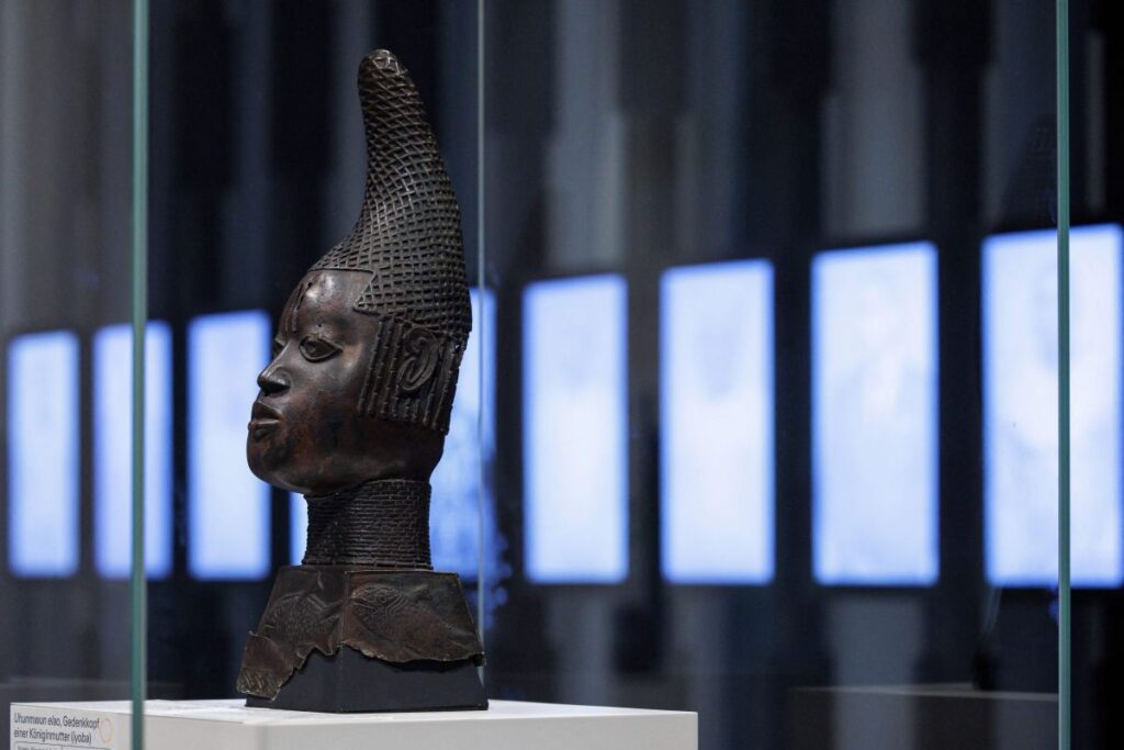
The Benin Bronzes — some roughly 3,000 stunning bronze artworks sculpted by African metalsmiths between the 16th and 19th centuries — were crafted from metal mined from Germany’s Rhineland region, a new study finds.
Researchers had long suspected that the masterfully crafted sculptures — created by the Edo people of the Kingdom of Benin, now part of modern-day Nigeria — were made from melted-down brass rings used as a currency during the trans-Atlantic slave trade, but confirmation proved elusive.
Now, scientists have used these metal rings, called manillas, recovered from five centuries-old Atlantic shipwrecks to trace the artworks’ provenance, confirming that their metal came from repurposed bracelets that had been originally used to purchase enslaved people.
By tracing the manillas’ metal, the researchers found the majority had been mined from western Germany. They published their findings on April 5 in the journal PLOS One.
“The Benin Bronzes are the most famous ancient works of art in all West Africa,” study first author Tobias Skowronek, a researcher of engineering and materials science at Technical University Georg Agricola in Germany, said in a statement.
“Finally, we can prove the totally unexpected: the brass used for the Benin masterpieces, long thought to come from Britain or Flanders [Belgium], was mined in western Germany.
The Rhineland manillas were then shipped more than 6,300 kilometers [3,900 miles] to Benin. This is the first time a scientific link has been made.”
Manillas, which get their name from the Spanish word for handcuffs or hand rings, served as a currency for European enslavers — namely the British, Portuguese, Spanish, Danish, Dutch and French — who sailed to Africa to trade millions of these rings for gold, ivory and slaves.
The manillas — highly valued in Africa, with different types traded among different peoples — were later made into the sculptures. Then, in 1897, British forces invaded Benin as part of a punitive military expedition, turning Benin’s royal court to rubble.
The British seized the Benin Bronzes before selling them to museums across Europe and the U.S.
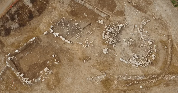
To trace the rings’ murky origins, the researchers conducted chemical analyses on 67 manillas found across five Atlantic wrecks stretching from the English Channel to Cape Cod, Massachusetts, and in land-based dig sites in Ghana, Sierra Leone and Sweden.
By comparing the elements found inside the manillas, along with their ratios of lead isotopes (variants of lead with different numbers of neutrons in their nuclei), to those inside the Benin Bronzes, the scientists found that both were similar to ores located in Germany’s Rhineland region.
The scientists noted that their findings match closely with the evidence from historical sources. For instance, a 1548 contract between a German merchant family and the Portuguese king details the specific requirements for the production of two types of manillas — each for a different region in Africa where one specific manilla type was more highly valued — carefully stipulating their weight, quality levels and shapes.
The discovery adds an extra dimension to Germany’s involvement with the Benin Bronzes, and to the broader story of the country’s part in Europe’s colonization of Africa.
Prior to this finding, historians focused mostly on Germany’s forestalled colonization efforts following the 1884-1885 Berlin Conference, where European powers met to agree on the carving up of Africa into distinct spheres of influence.
Nigeria and the Edo State Government have long been petitioning for the return of the artworks, the largest collection of which is in the British Museum in London.
The Horniman Museum, another U.K. museum, as well as Cambridge University, have given back their collection of Benin Bronzes, along with museums in Germany and the U.S.