Norway couple find Viking grave under floor of their house
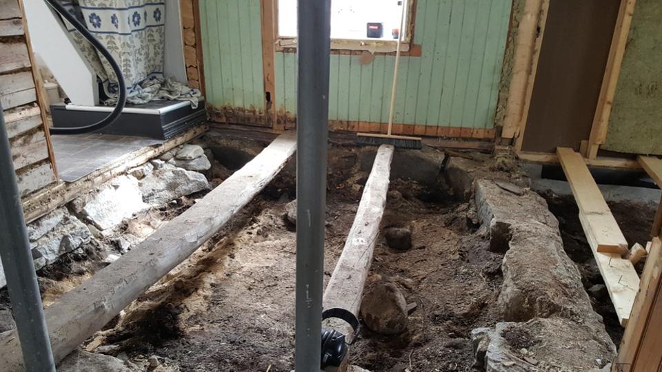
A Norwegian couple got quite the shock when renovating their old family house near Bodø in northern Norway this month.

After removing the floorboards and some sand with the intention to install insulation, the couple discovered several rocks. They continued digging and spotted something glittering in the light.
“It wasn’t until later that we realised what it could be,” Mariann Kristiansen from Seivåg near Bodø told Norway’s state broadcaster NRK of the find. “We first thought it was the wheel of a toy car.”
Naturally, they were curious, and then they saw something round glinting in the light. They knew that it had to be old because the house had been built in 1914 and the floorboards had not been moved since. The house has been in the same family for over a century.
After some further digging, the couple found an iron axe head and some other metallic objects, that were all obviously old. ‘It wasn’t until later that we realized what it could be” Mariann Kristiansen, one of the owners of the house, told The Local .

The couple contacted the local authorities and experts from the local Nordland county government came to inspect the finds. Martinus Hauglid told the couple that they had most likely found a grave from the Iron Age in Norway. This was the era when the Vikings ruled in Scandinavia and terrified most of the known world.
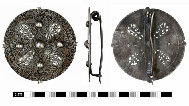
The archaeologist told The Local that the couple had found an “ax dated between 950 and 1050 AD”. The bead of glass, which was revealed to be blue dates from the same period.

Viking Cairn
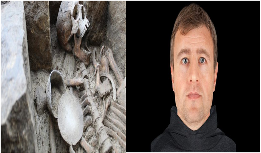
It is believed that the stones found underneath the flooring came from a burial.
The stones were likely part of a cairn. In this type of burial, a mound of stones and rocks are erected over the deceased which was a very common burial practice in the Iron Age.
A number of similar cairns were found in the Lendbreen Mountain Pass in Norway when a glacier melted. This was an important trade route in the Middle Ages .
Martinus congratulated the couple on their find and stated that they had done a good job, by reporting things so soon. The archaeologist said that it was the first instance of a Viking grave being found under a private dwelling in his 30 year career.
Archaeologists have begun an investigation of the grave. Forbes reports that under Norwegian Law any human artifacts or “activity before 1537 are automatically preserved”. The items found by the couple have been transported to a museum for conservation and safekeeping.

End of the Viking Age
Martinus is quoted by Forbes as stating that the finds under the floorboards date back to a time “when Norway transitioned to Christianity to become one kingdom”. This was the time when kings like Olaf Tryggvason , attempted to dominate the many chiefdoms and create a centralized state.
Some of these monarchs sought to impose Christianity on the pagan Norse as part of their efforts at state-building and this led to many civil wars. The grave could help researchers to better understand this crucial period in Norwegian history which saw the demise of the Viking Age.
It appears that the original builders of the house, over a century ago, were not aware that they were building a private residence on a grave. It is quite possible that they unearthed items and simply discarded them. This raises the possibility that some Viking-era grave goods were lost or destroyed during the construction of the family home.