Dozens of decapitated skeletons found in Roman cemetery dig
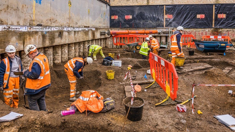
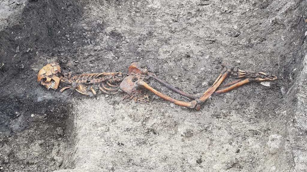
Archaeologists have discovered at least 40 beheaded skeletons in a Roman cemetery on the route of the high-speed HS2 railway. The 50-strong team made the grisly discovery in Fleet Marston near Aylesbury, Buckinghamshire.

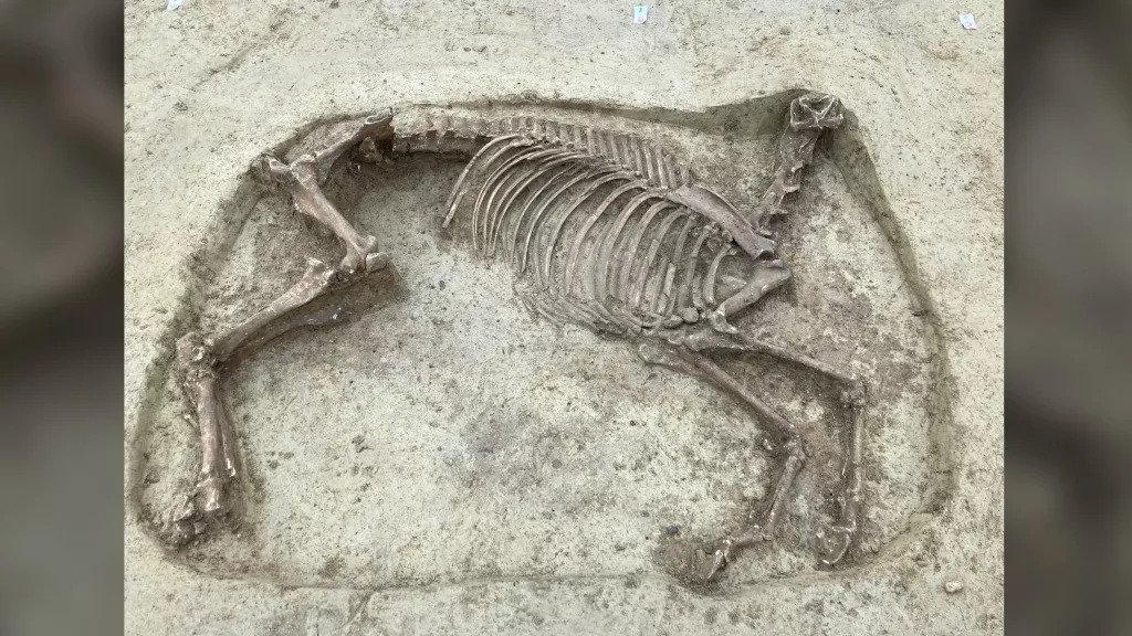
More than 400 bodies were exhumed and around 10 per cent were decapitated, with several having their heads placed between their legs or next to their feet.
HS2 Ltd said the decapitations suggest the bodies are of “criminals or a type of outcast”, although decapitation was a “normal, albeit marginal” part of burial during the late Roman period.

The cemetery is the largest of its kind in Buckinghamshire.
The bodies are being held in storage for further analysis.
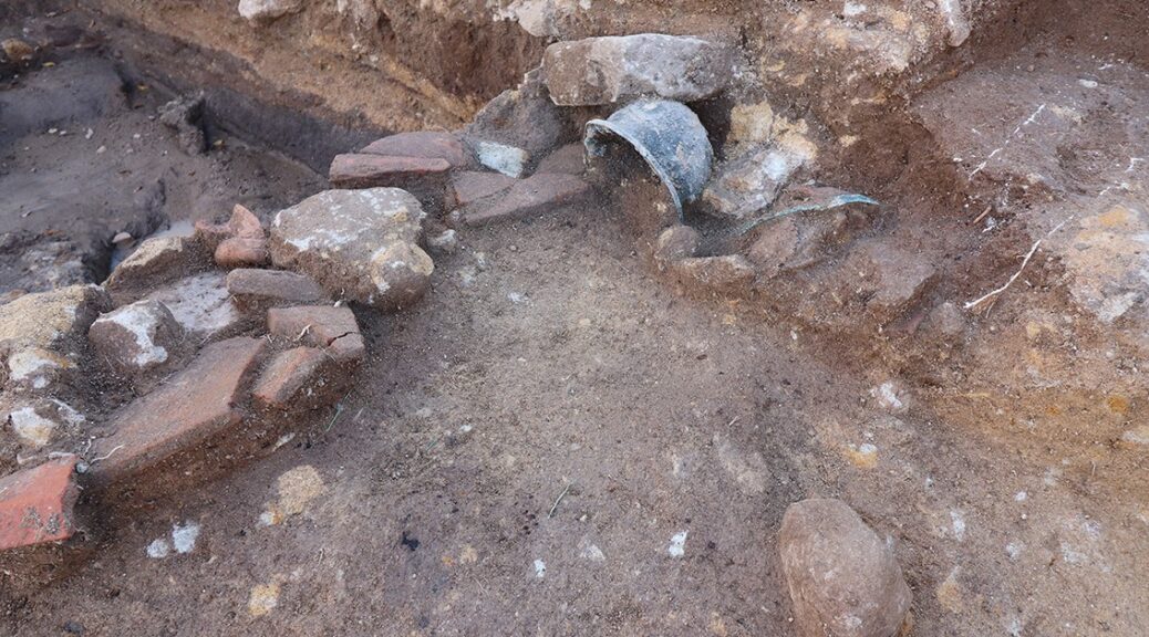
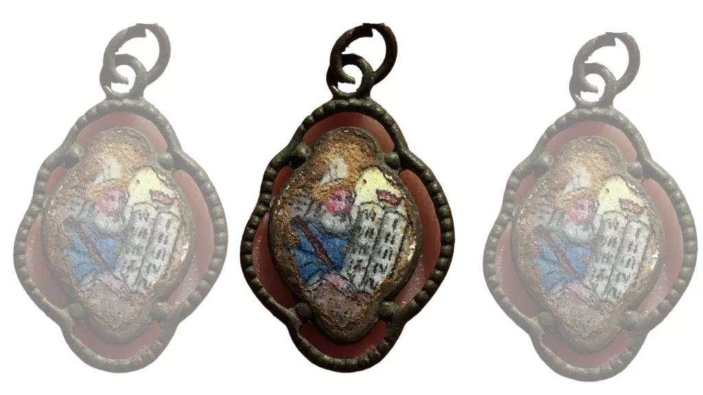
Unlike those exhumed from Christian grounds such as St James’s Gardens in north London, HS2 is under no obligation to rebury the bodies. The archaeologists discovered more than 1,200 coins at Fleet Marston, which suggests it was an area of trade and commerce.
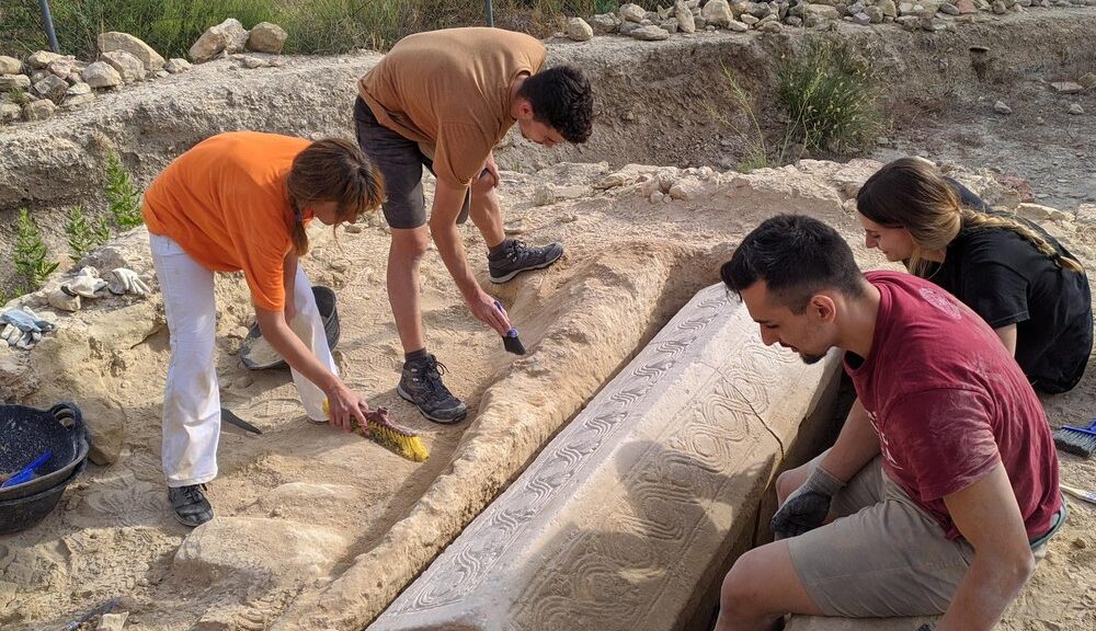
Domestic objects including spoons, pins and brooches were found, while gaming dice and bells suggest that gambling and religious activity were popular at the site. The excavation was carried out over more than a year by Cotswold Archaeology and Oxford Archaeology (Copa), working on behalf of an HS2 contractor.
Copa senior project manager Richard Brown said: “The excavation is significant in both enabling a clear characterisation of this Roman town but also a study of many of its inhabitants.
“Along with several new Roman settlement sites discovered during the HS2 works it enhances and populates the map of Roman Buckinghamshire.”
Fleet Marston is one of more than 100 archaeological sites examined by HS2 since 2018 on the route of the first phase of the railway between London and Birmingham.
HS2 Ltd’s head of heritage Helen Wass said: “The HS2 archaeology programme has enabled us to learn more about our rich history in Britain.
“The large Roman cemetery at Fleet Marston will enable us to gain a detailed insight into the residents of Fleet Marston and the wider Roman Britain landscape.
“All human remains uncovered will be treated with dignity, care and respect and our discoveries will be shared with the community.”