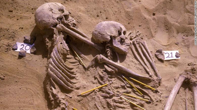
The oldest civilisation in the Americas: Have you heard of it?
Almost five thousand years ago, humankind came together in a way never seen before. We began to turn our backs on the traditional hunter-gatherer form of survival.
Tribal communities based around families began to form into larger hierarchical systems. The techniques to build permanent structures were developed. And the worship of deities was taken to a new level.
Civilisations were being born – and one of the first was Caral in Peru.

I find it a bit strange the way this happened almost simultaneously (in the grand scheme of human history) around the world – but just in a few select places.
Experts debate whether this happened independently or whether the idea spread across the world. Regardless, it was the dawn of a new era for mankind.

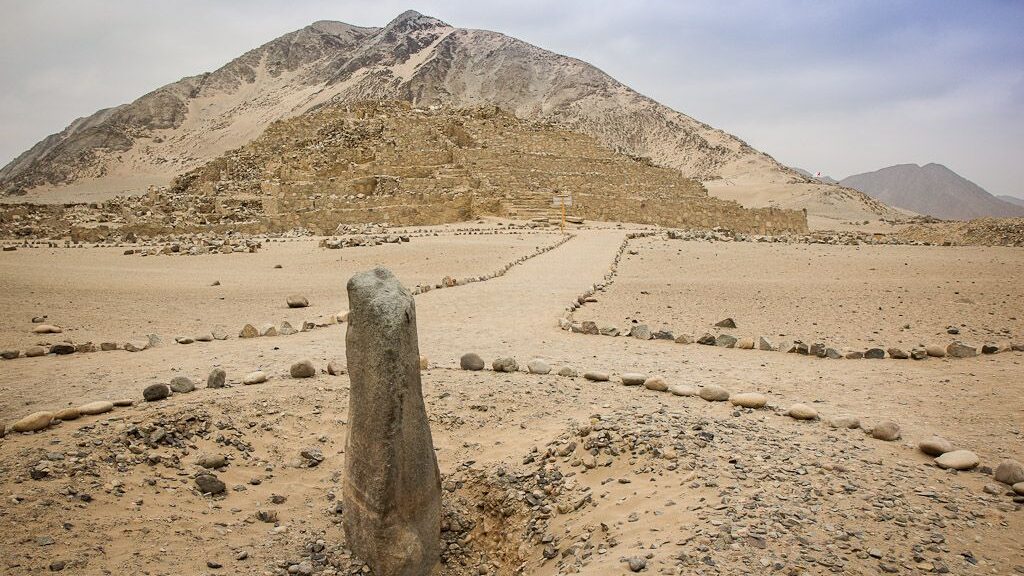
In the Americas, it was on the coast of what is now Peru that the first cradle of civilisation emerged in about 2600BC. On a site called Caral, these ancient people with bountiful food on hand in the rich ocean, rose at around the same time as five other major civilisations.

Caral was eerily similar to some of the other great cultures growing at the same time. They built stone pyramids here, for instance, at exactly the same time that the Egyptians were building their much more famous counterparts.
But there were also differences. No artwork adorned the structures of Caral in Peru. Unlike in Egypt or Mesopotamia, the people of Caral did not seem to have the same aesthetic tastes (or knowledge).
There is no evidence they made or used ceramics, another key utensil and form of artwork in other civilisations. But they did have textiles.

In fact, the textiles were for more than just clothing and decoration. It’s believed the people of Caral also used textiles as their form of writing. Strings of different lengths with knots in various places are one way they could have communicated.

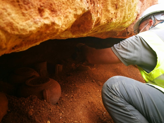
If this new advanced culture was not famous for art or ceramics, it was its architecture that was its strength. The same grand pyramids and temples of worship that were built here thousands of years ago are still partly standing around me on the day I visit.
They don’t just prove that the Caral civilisation was advanced enough to build these large monuments – it also shows that they had an advanced religious ideology.
The pyramids and other important structured would certainly have been used for worship and other ceremonies.
Although Caral-Supe is not one of the most famous sights in the country, I think it’s one of the most interesting places to visit in Peru. There’s a fascinating story behind it and there’s much more to see than you might expected for something that is 5000 years old!