Native Americans may have reached Polynesia long before Europeans
According to an eye-opening study published by Stanford Medicine scholars, early Polynesian sailors possibly arrived in South America decades before Christopher Columbus set foot in the New World.
Stanford postdoctoral scholar Alexander Ioannidis and his colleagues give the first definitive proof in a report published in the journal Nature that Polynesians and Native Americans encountered about 300 years before Europeans arrived on the continent.
The authors uncovered the prior interaction between Polynesians and Native Americans from the area which includes what is now Colombia, by using deep genetic analyses, a hypothesis that has been fiercely discussed by historians and archaeologists for decades.

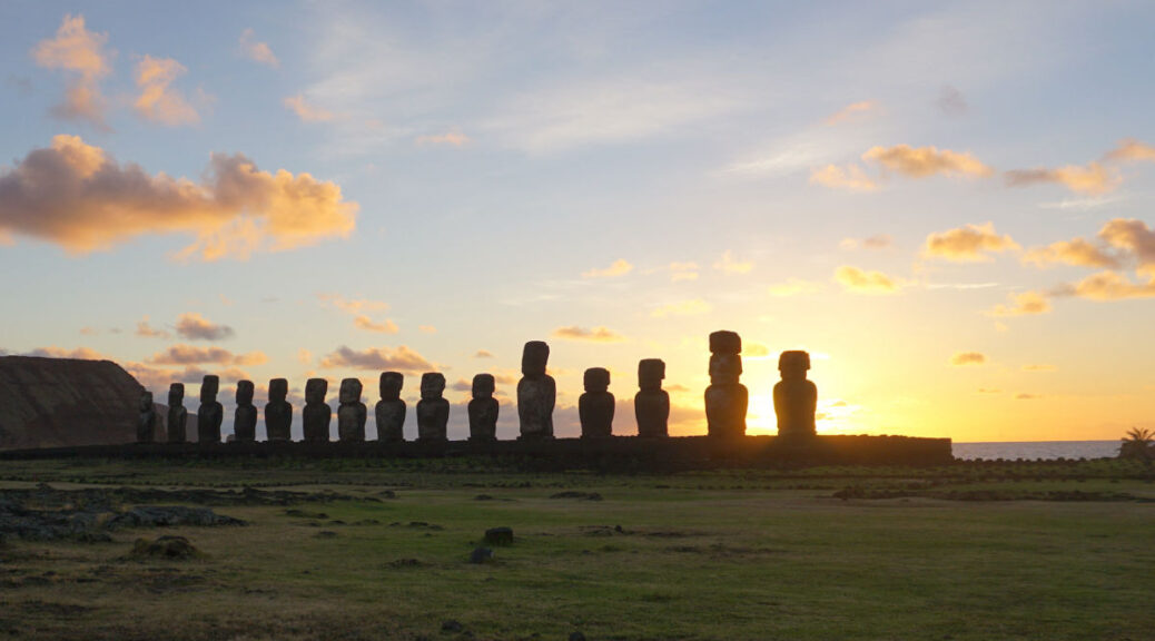
According to the authors’ statistical analyses, this meeting took place around 1200 A.D., during the so-called Dark Ages in Europe — and long before Columbus set sail from the Spanish port of Palos. This likely occurred during the Polynesian peoples’ voyages of discovery in the remote eastern Pacific around the same time, during which they located the remaining Pacific island groups, from Hawaii to New Zealand and Rapa Nui.
Proponents of this view speculate that common cultural elements, such as similarities in certain words used by both groups, suggest the two cultures met prior to the arrival of Europeans in the late 15th century.
Opponents like to point out that the two groups were separated by thousands of miles of ocean which neither group was likely to traverse.
Previous studies focused on ancient DNA samples taken from bones, however, these samples tend to be heavily degraded and unsuitable for drawing valid conclusions.
“The team’s goal was to reconstruct the ancestral roots that have shaped the diversity of these populations and answer deep, long-standing questions about the potential contact between Native Americans and Pacific Islanders, connecting two of the most understudied regions of the world,” according to senior author Andrés Moreno-Estrada, professor and head of genomic services at the National Laboratory of Genomics for Biodiversity in Mexico.

The researchers analyzed genome-wide variation in individuals from across Polynesia for signs of Native American DNA sequences.
Using genetic data collected from the saliva of 807 living indigenous inhabitants of Colombia and residents of 17 French Polynesian islands, the authors searched for signals suggesting a common ancestry. They traced genetic signatures found in trackable, heritable segments of the subjects’ DNA dating back hundreds of years to the Polynesian settlement of Oceania.
Computational methods developed during Ioannidis’ graduate work allowed researchers to localize the Native American DNA to modern-day Colombia.
They now believe that the Polynesians probably landed there. While pre-Columbian indigenous tribes crafted all manner of drift rafts and were known to trade with other groups along the coast, it’s less likely that Native American vessels would have sailed to Polynesia based on what we know of their coastal travel patterns.
“We found identical-by-descent segments of Native American ancestry across several Polynesian islands,” said Ioannidis. “It was conclusive evidence that there was a single shared contact event.” This means that members of the two cultures not only met, but they also produced children combining identifiable genetic traits unique to both groups.
And then there’s the mystery of the sweet potato.
Ioannidis notes the sweet potato is native to the Americas but is known to have been grown in only one other place prior to European contact: Oceania, which includes many Pacific islands including Polynesia.
The Polynesian word for sweet potato, “kumala,” is similar to the word used by certain indigenous groups in the Andes, “cumal,” leading some archaeologists and historians to believe that the two groups did in fact meet.
Other New World crops, like the bottle gourd, are also found in the Polynesian archaeological record but appear nowhere else outside the pre-Columbian Americas.
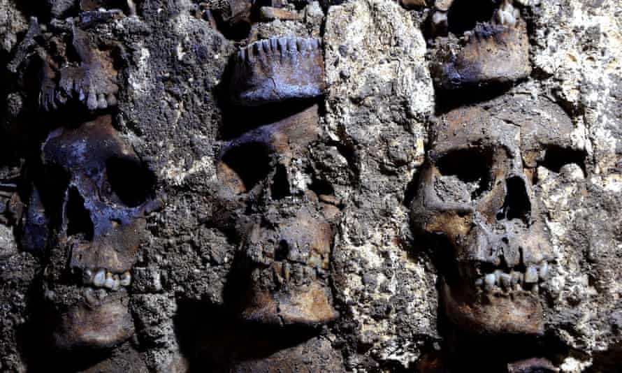
Previous genetic research focused on a possible link between Native Americans and the inhabitants of Rapa Nui, the closest inhabited Polynesian island to the Americas, which revealed a Native American component in the genes of those with Rapanui ancestry. However, in a genome-wide study of eight modern individuals and five skeletal remains, all of the former and none of the latter had such a component — leading to opposing conclusions about their pre-European contacts.


“Genomics is at a stage where it can really make useful contributions to answering some of these open questions,” said Ioannidis. “I think it’s really exciting that we, as data scientists and geneticists, are able to contribute in a meaningful way to our understanding of human history.”