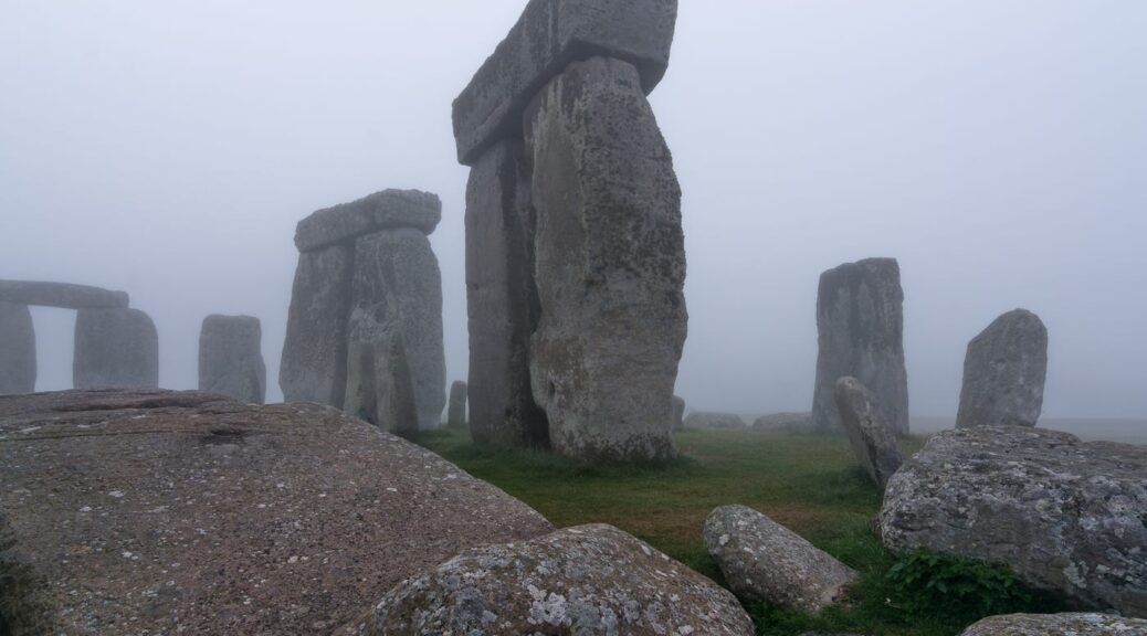
Archaeologists say they’ve found a massive underground structure that could be four times the size of Stonehenge
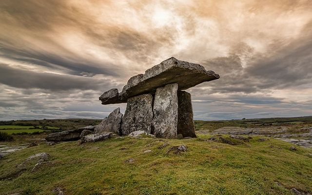
Archaeologists have confirmed that the ruins of a significant, modern prehistoric stone monument, buried less than 3 kilometres (186 miles) from Stonehenge have been identified.

The site is 15 times the size of Stonehenge. The Stonehenge Hidden Landscapes Project team – a group of British archaeologists – used multi-sensor technologies to reveal evidence for a row of about 90 standing stones hidden beneath the bank of what is now called Durrington Walls, a super-henge in Britain.
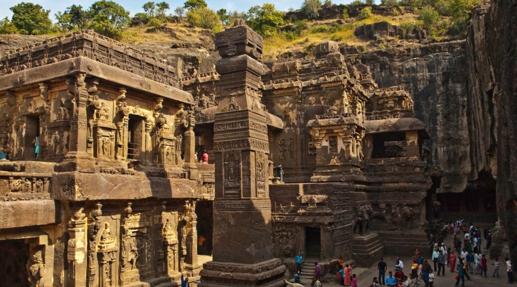
Durrington Walls is one of the largest known henge monuments measuring 500 meters (0.3 miles) in diameter. It’s thought to have been built around 4,500 years ago.
The word henge refers to a particular type of earthwork, typically consisting of a roughly circular or oval-shaped bank with an internal ditch surrounding a central flat area. Henges may have contained (or may still contain) ritual structures such as stone circles, timber circles and coves.
Durrington Walls may have contained an ancient village at one time. The henge surrounds several smaller enclosures and timber circles and is associated with a recently excavated later Neolithic settlement.
The Stonehenge Hidden Landscapes Project team, using non-invasive geophysical prospection and remote sensing technologies, discovered evidence for a row of up to 90 standing stones, some of which may have originally measured up to 4.5 meters (14.8 feet) in height. Many of these stones have survived because they were pushed over and the massive bank of the later henge raised over the recumbent stones or the pits in which they stood.
These stones have been hidden for millennia.


At Durrington, more than 4.5 thousand years ago, a natural depression near the river Avon appears to have been accentuated by a chalk cut scarp and then delineated on the southern side by the row of massive stones. Essentially forming a C-shaped ‘arena’, the monument may have surrounded traces of springs and a dry valley leading from there into the Avon.
Although none of the stones has yet been excavated, researchers are interested in a unique sarsen standing stone – a kind of sandstone boulder – which they are calling the Cuckoo Stone, in the adjacent field.
The researchers say this particular stone suggests that other stones may have come from local sources.

Previous, intensive study of the area around Stonehenge had led archaeologists to believe that only Stonehenge and a smaller henge at the end of what researchers call Stonehenge Avenue possessed significant stone structures. The researchers now say:
The latest surveys now provide evidence that Stonehenge’s largest neighbour, Durrington Walls, had an earlier phase which included a large row of standing stones probably of local origin and that the context of the preservation of these stones is exceptional and the configuration unique to British archaeology.

The earthwork enclosure at Durrington Walls was built about a century after the Stonehenge sarsen circle (in the 27th century BC), but archaeologists say the new stone row could be contemporary with or earlier than this.
Paul Garwood, Senior Lecturer in Archaeology at the University of Birmingham is the principal prehistorian on the project. Garwood said in a statement:
The extraordinary scale, detail and novelty of the evidence produced by the Stonehenge Hidden Landscapes Project, which the new discoveries at Durrington Walls exemplify, is changing fundamentally our understanding of Stonehenge and the world around it.
Everything written previously about the Stonehenge landscape and the ancient monuments within it will need to be re-written.