Archaeologists in Egypt reveals ‘elite’ mummies, jars filled with organs, and mystery snake cult
The ancient Egyptians, known for their elaborate mummies, took a lot of care in preparing for the afterlife. Now, for the first time, archaeologists have discovered that they had a bustling funeral industry, too. As it turns out, priest-embalmers were also savvy business people whose tactics presaged the modern funeral industry.
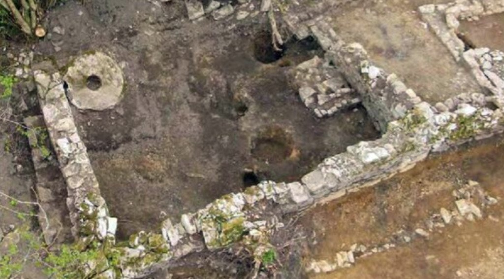
A burial workshop unearthed in 2018 in Saqqara, a necropolis (or city of the dead) 20 miles south of Cairo, offered Egyptologists the first major opportunity to document a site where mummies were made.
Archeologists behind early excavations likely overlooked such sites in their eagerness to uncover richly decorated royal tombs.
But as it turns out, the Egyptian funeral parlor wasn’t just preparing the pharaohs for the afterlife. They offered a whole range of services, from ornate golden funerary masks to cheaper plaster ones embellished with gold foil. The canopic jars, which stored the organs of the dead, could be made from alabaster or cheaper painted clay.
“The evidence we uncovered shows the embalmers had very good business sense,” says Ramadan Hussein, an Egyptologist at the University of Tübingen in Germany, told National Geographic. “They were very smart about providing alternatives.”

The ancient funeral parlor was located beneath a burial shaft that had last been investigated in the late 1800s—archaeologists had to remove 42 tons of debris to access the chamber, found just three feet below where the earlier excavations had ceased.
Hussein soon realized that what they had found wasn’t a tomb, but the site where bodies were prepared for burial. There was an air shaft that would have provided crucial ventilation, bowls containing traces of the oils and resins used in mummification, and a table-like slab perfect for laying out bodies.
The excavation of the funeral parlor also uncovered six nearby tombs, home to some 50 mummies that illustrate how the business offered its services to different clientele.
The wealthy, buried the deepest—the closest to the underworld—bought such expensive trappings as a limestone sarcophagus and a silver face mask with gold gilding, only the third of its kind ever discovered. The working class on the tomb’s upper tiers, on the other hand, settled for simple wooden coffins.

The afterlife was hugely important to the ancient Egyptians, and the ritualized mummification process that ensured one’s safe journey to the underworld took a full 70 days.
Embalmers carefully packed the internal organs into four canopic jars, then dried the body out with salt, anointed it with oil, and wrapped it in linen. The finished mummy would be laid to rest in a fully provisioned tomb, according to the family’s means.
Loved ones would pay embalmers regular fees for the upkeep of the dead, according to papyrus documents found in Saqqara over 100 years ago. The discovery of an actual Egyptian funeral parlor offers the first physical evidence of this practice.
“Mummification was a business transaction between an individual and an embalmer in which the embalmer was a specialist, a priest, and a businessman,” Hussein told.

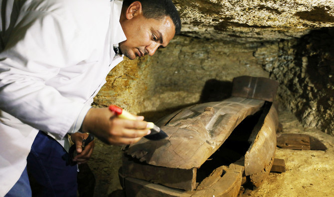
Among the important discoveries at the site was the coffin of a woman named Didibastet, who was buried with six canopic jars, two more than tradition dictates, reports Al-Ahram Weekly.
All of the jars contain human tissue, a CT scan revealed, suggesting that this was a special form of mummification that preserved additional organs beyond the lungs, stomach, intestines, and liver. The team’s radiologist is now studying the jars to identify the extra organs.